GIS Analyst · Washington, DC
Euan McPhie
Hello! Welcome to my portfolio. I enjoy all things GIS, remote sensing, and history.
This portfolio features my professional work and experiences.
View my recent work →
About Me

Hi, I'm Euan.
A GIS analyst with a passion for making spatial data useful. I transform geographic data into maps, analyses, and visualizations that help people better understand places and patterns.
Currently building toward roles in geospatial development and analysis, with a focus on telling clear, honest stories through maps.
More About MeFeatured Projects

Measuring Glacier Loss on Yulong Snow Mountain
Quantified glacial retreat using Landsat imagery and NDSI analysis in ENVI, applying supervised classification to measure environmental change over time.
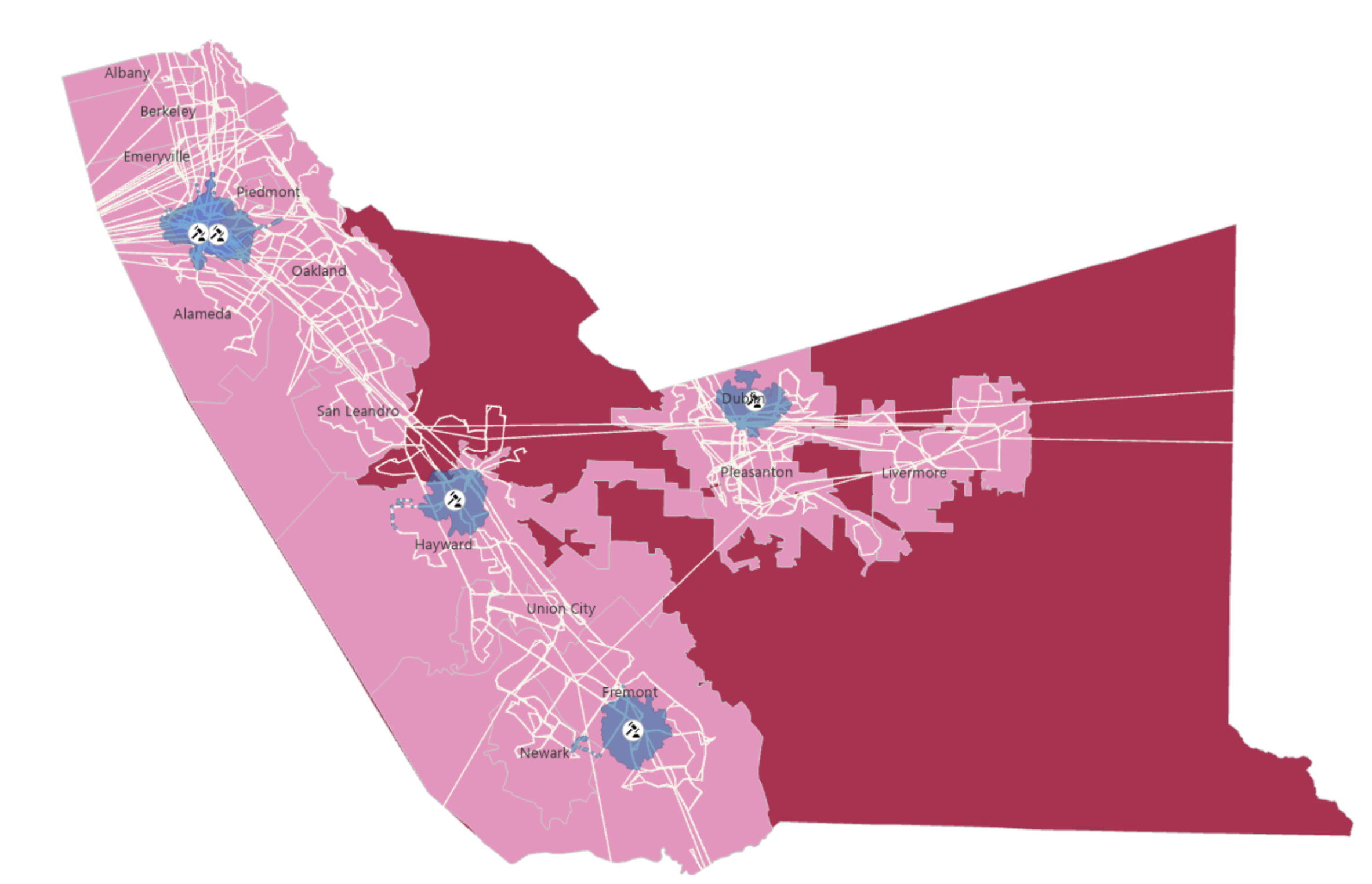
Public Transit Analysis for State Court Accessibility
Assessed public transportation accessibility for jurors across 378 census tracts in Alameda County, overlaying ACS demographic data to identify disparities in access to California state courts.

NPS Heritage Documentation — Washington D.C.
Created and verified geospatial data for 1,000+ HABS/HAER/HALS-documented historic features across DC, working within an enterprise geodatabase for the National Park Service.